
Cranberry Township ZIP Code Directory
Official Township addresses, including the Municipal Center and library, use 16066. Township recreation policy defines a Cranberry Township resident as someone living within ZIP 16066, subject to exceptions recorded in that program. A 2025 Township survey table also identifies 16066 as Cranberry Township. That is the only standard ZIP directly verified as serving the Township in the official local sources inspected. The evidence does not support claiming that an adjacent community's code, a unique ZIP, or a PO Box-only ZIP serves Cranberry Township.
| ZIP | Areas covered | Postal designation | Record-search note |
|---|---|---|---|
| 16066 | Cranberry Township mailing area documented by Township office, library, map, recreation, and survey materials | Verify the delivery designation for a specific address with USPS | ZIP is a postal construct, not proof of Township jurisdiction or a person record. |
| Additional ZIPs | No additional code directly verified by the official Township or County address sources inspected | Do not rely on nearby-community labels | Confirm only with an address-level USPS result before making a local claim. |
| PO Box-only or unique ZIP | No Cranberry-specific example located in the official source sweep | Confirm at request time with USPS | Do not infer one from a business name, subdivision, or map label. |
The ZIP code directory is deliberately narrow. It reports verified local evidence rather than filling its table with nearby codes that may appear in regional material but were not tied to a Cranberry Township delivery address.
Cranberry Township ZIP Verification
USPS ZIP Code Lookup is the official route for checking a particular delivery address and its ZIP+4. Enter the complete current street address in the live tool rather than relying on a place-name label. A successful postal result answers a delivery question. It does not decide whether an address lies inside Cranberry Township, whether Butler County holds the right record, or whether a parcel and a mailing address are the same place.
The official USPS screen capture documents the address-verification route.
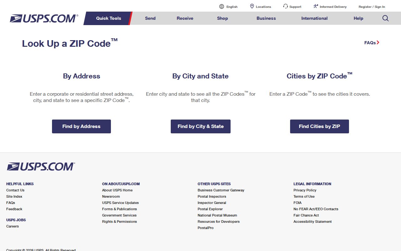
Keep the returned ZIP and ZIP+4 with the full address as a mail-delivery check. Then use the township and county record system associated with the parcel's actual municipality and county.
Note: A postal city label and a municipal boundary can differ, so neither should replace the other in a records request.
Cranberry Township ZIP Code Search
A practical ZIP code search starts with the delivery address, then switches to the record type needed. Cranberry Township Property Finder and Butler County Property Search do not publish a ZIP search mode. Property Finder uses address, street, parcel ID, owner, and development; the County property screen uses Parcel Number, Owner, and Address. The delinquent-tax portal has a ZIP field, but it searches tax-record material rather than producing a Township-wide person list.
- Verify a specific Cranberry Township delivery address in USPS ZIP Code Lookup and retain the complete street form.
- Use the address or parcel number in Property Finder or Butler County Property Search to establish parcel and map context.
- Use the delinquent-tax portal only when its tax-record search is relevant, entering the ZIP field as one available filter rather than a broad directory request.
- For a court matter that actually includes parcel information, use Pennsylvania UJS Case Search and its applicable Parcel ZIP Code and Parcel Municipality fields with the case-specific filters.
- When one ZIP narrows the question to a particular road, continue with the address workflow in the Cranberry Township street directory.
A ZIP code directory is most useful when it keeps each portal in scope. The postal code can verify delivery, while the parcel number, address, legal description, court case, or municipal record provides the key a particular custodian uses.
Cranberry Township Tax ZIP Filter
Butler County's delinquent-tax portal is the local public form with a documented ZIP Code text field. It also offers Parcel Number, Location Address, School District, Municipality, Owner Name, Mailing Address, and City. Location Address calls for a house number and street, while Owner Name expects the last name first. The inspected screen did not expose all dropdown options for School District and Municipality, so no full option list should be assumed.
| Tax-search field | Published format or purpose |
|---|---|
| Parcel Number | Search criterion for a property-tax record. |
| Location Address | Enter house number and street only, such as the format shown by the portal. |
| School District and Municipality | Dropdown filters; the static capture did not reveal all available choices. |
| Owner Name and Mailing Address | Owner Name expects last name first; mailing information is not a situs address. |
| City and ZIP Code | Text filters for tax-search records, not a ZIP-wide resident directory. |
The captured delinquent-tax form is sourced from the same County tax search.
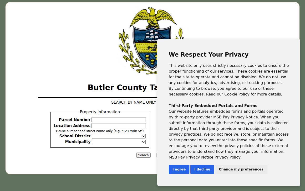
Use a tax result as a parcel verification point. Recorded title comes from the deed trail, and neither tax records nor the ZIP field establish every person connected with an address.
Note: The County's documented ZIP field is a tax-search filter, not an address directory or a municipal-boundary test.
Cranberry Township Address Keys
Four location keys can appear in one Cranberry Township record trail: street address, Owner Address, parcel or tax-map number, and legal description. Butler County Property Search labels Address and Owner Address separately. The first is the property or situs location shown on the profile; the second is a tax mailing field. The County GIS adds parcel and tax-map references, while the recorded deed's legal description identifies the land transferred.
That separation prevents a common ZIP-search error. A code entered for mail delivery should not overwrite the site address, the owner's mailing address, or the property description. Butler County Mapping says property transfers by legal description rather than parcel number. Preserve all four identifiers when comparing a USPS result, an assessment profile, a GIS selection, and a deed reference. For the recorded description, use the Butler County Recorder of Deeds PAX path after its disclaimer, or ask the Recorder about counter and mail-copy access.
- ZIP Code
- A five-digit USPS delivery designation tied to a mailing address, not a municipal boundary.
- ZIP+4
- An added four digits that refine delivery for the particular address supplied to USPS.
- PO Box ZIP
- A postal code used for box delivery; no Cranberry-specific example was verified in the source sweep.
- Unique ZIP
- A ZIP assigned to one organization or facility; none was verified for Cranberry Township.
- Carrier route
- A postal delivery grouping, which does not determine a Township boundary or create a resident list.
Cranberry Township Postal Boundaries
ZIP code boundaries and city limits answer different questions. Cranberry Township is a township, not the City of Butler, and it is also distinct from Cranberry Township in Venango County. The research supports 16066 as Cranberry Township's verified postal area, but it does not document a particular cross-boundary address that would justify a more detailed local boundary claim. That restraint matters because a postal label can cross a municipal line or use a city name different from the governing municipality.
For a municipal request, confirm the parcel's Township and Butler County setting through the map or property profile. For an address-assignment question, use the appropriate Township planning or County mapping channel. For delivery, use USPS. The ZIP code directory should never substitute a postal label for a legal jurisdiction.
Cranberry Township ZIP Map Layers
Cranberry Township Property Finder provides the map context that a ZIP field cannot. Its layers include address points, streets, parcels, developments, water, sanitary, and floodplain information. Butler County GIS Online Search can locate by address, parcel number, or owner and can display physical address, municipality, school information, mailing city/state/ZIP, short legal description, deed instrument, values, and last-sale details.
Both map routes provide physical context. Neither is a legal survey, a ZIP boundary map, or a listing of people. If a property appears in a named development, the development layer may help locate plans, a permit era, or a recorded subdivision reference without proving a current connection to any individual.
Cranberry Township Address Rules
Butler County's address and road-name policy separates local and County roles. Cranberry Township assigns addresses and adopts road names, while the County Department of Emergency Services maintains the MSAG, the emergency-services address guide. A developer must obtain an address before a building permit or final subdivision plat. For new or vacant frontage, the policy provides a number every 100 feet, uses odd and even numbering rules, and prohibits fractional, alphanumeric, and hyphenated addresses.
The Butler County addressing and road-name policy supplies the source for this public policy capture.
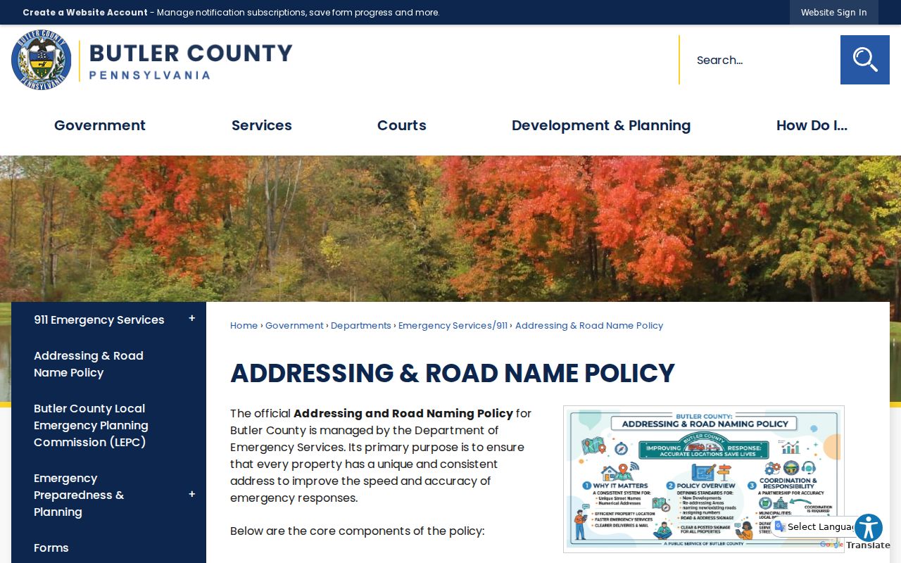
These rules explain how a local address is assigned. A USPS lookup checks postal delivery after an address exists; it does not assign the address or control the legal description used in a land transfer.
Note: The County Mapping office maintains road centerlines and address points for 911 purposes, while Township planning staff handle local address and development review.
Cranberry Township ZIP History
Older research can require a road or place-name check before a modern ZIP check. Cranberry's first post office was called Ogle and stood on old Perry Highway, now Dutilh Road. That is a useful historic variant for a map, directory, obituary, or land record search. It is not evidence of a separate present-day ZIP. Test the wording against the date and source rather than changing an old record to fit a current postal label.
Jurisdiction also changes with time. Butler County's 1854 division created Adams, Forward, and Jackson Townships from Cranberry, and Seven Fields separated in 1984. A historical record that says Cranberry may need a date-sensitive Township check before it is mapped to a current parcel or postal area. The Weir Genealogy Room's historic maps, atlas, Polk directories, and newspaper resources are the documented local aids for that comparison.
Cranberry Township ZIP Code Limits
A Cranberry Township ZIP code directory can verify 16066 as a documented local postal area and point a reader to the right type of official search. It cannot establish title, exact municipal boundary, court involvement, voter registration, utility account, or a complete list of people at addresses within the code. The County property and Township map systems are ZIP-agnostic in their published search modes. UJS Case Search's Parcel ZIP Code and Parcel Municipality fields apply only to court matters that include those fields.
Pennsylvania Check My Registration is for individual status, not a ZIP browse. Public voter-list access is controlled by statute, identification, and a written permitted-use statement. Protected addresses can also appear through Pennsylvania's Address Confidentiality Program. When a record is unavailable or redacted, contact the actual custodian or make a focused request under the Pennsylvania Right-to-Know Law, Act 3 of 2008, 65 P.S. §§ 67.101–67.3104.
Note: A missing public result can reflect the wrong record key, a privacy limit, or a custodian that does not publish the record online.