
Trace a Cranberry Township Street
For a known Cranberry Township address, begin with the map and parcel systems rather than a name search. The Township map can place a road segment among address points, parcels, developments, and utility or floodplain layers. Butler County's parcel profile then adds the assessed owner, the property address, the separate Owner Address field, legal description, and deed book or page reference. A street directory result is strongest when those distinct fields agree with the question being asked. It is not proof that every person associated with the property lives there now.
- Search the address or street in Cranberry Township Property Finder. Turn on Streets, Address Points, and Parcels to identify the relevant segment and parcel.
- Use the parcel number or physical address in Butler County Property Search. Save the parcel ID, legal description, deed book/page, and the separately labeled owner and mailing fields.
- Open Butler County GIS to compare the physical-address and tax-map context. Its displayed deed instrument and last-sale reference can help confirm the parcel trail.
- Take the deed reference to the Recorder of Deeds. Match the legal description to the recorded instrument before treating a transfer as part of the same property chain.
- For a past address question, ask the Weir Genealogy Room for the closest Polk reverse-directory volume and record the exact volume and street form.
- Use a focused Township permit or Right-to-Know request only for an identified address, record type, and date range.
That sequence follows a street through public land records without turning map data into a household list. It also leaves room for a genuine dead end, such as a protected address, an unavailable older card, or a directory volume that did not cover the road.
Cranberry Township Street Map Search
Cranberry Township Property Finder is the local front end for walking a road. Its search selector supports address, street, parcel ID, owner, and development modes. The Layer List can show Agriculture Security Area, Developments, Streets, Address Points, Water, Sanitary, Floodplain, Parcels, and a non-aerial base map, although zoom level can affect availability. Measure, Legend, Draw, and Print tools help preserve map context. They do not establish a legal boundary or show who occupies a building.
| Property Finder control | How it works for a street search |
|---|---|
| Search text | Enter the value for the selected address, street, parcel, owner, or development mode. |
| Search selector | Choose Addresses, Streets, Parcels by ID, Parcels by Owner, or Developments. |
| Layer List | Turn on map context such as Streets, Address Points, Parcels, Water, Sanitary, or Floodplain. |
| Measure, Legend, Draw, Print | Review symbols, mark a map note, understand displayed scale, and export visible context. |
Butler County Mapping information explains the assessment-map setting behind a street lookup.
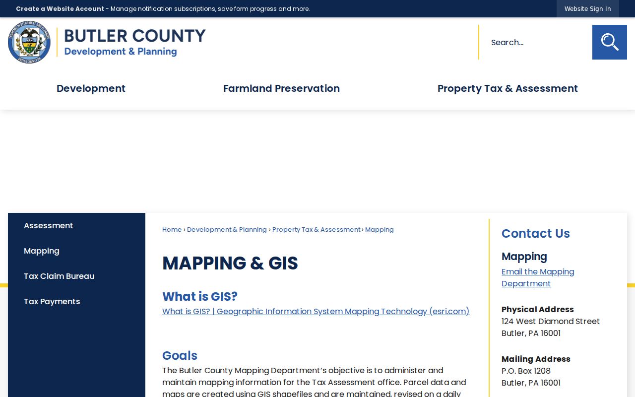
The map is useful for selecting a likely parcel along a Cranberry Township street, but the County says maps and parcel edges are not a certified survey. Use the recorded legal description when a boundary or transfer matters.
Note: The Township guide does not publish a historical start date or an export-row limit for Property Finder results.
Cranberry Township Parcel Profiles
Butler County Property Search has three public search modes: Parcel Number, Owner, and Address. A result header identifies Parcel ID, Owner, and Street Address. The profile can add Address, Owner Address, Tax District, School District, acreage, legal description, deed book/page, values, structural details, sales, and sketches. The County says an old card or missing sketch may still require an office visit. Its public screen does not state an online historical coverage date.
| County field | Meaning in a Cranberry street search |
|---|---|
| Parcel Number, Owner, Address | Required search-type choices; enter a term, then run the selected search. |
| Street Address | The displayed property or situs location used to place the parcel on a road. |
| Owner Address | A tax mailing field that may differ from the property address. |
| Legal Description and Deed Book/Page | The bridge to recorded land documents; description controls the transfer, not the parcel number alone. |
| Sales and sketches | Supporting parcel material, subject to what the profile displays and any office-only gaps. |
The separate mailing label is an important local caution. An owner may receive assessment mail elsewhere, so it should not be treated as proof of where that person is present day to day. The same caution applies to an entry based solely on an assessed-owner field.
Cranberry Township Street Records
Several custodians hold address-keyed records for Cranberry Township, and each answers a different question. Property and GIS tools establish parcel context. The Recorder holds recorded instruments. Township Planning and Development may hold public permit or inspection material. The Township's street list gives precinct orientation, while election data has its own controlled process. The Weir Genealogy Room is the documented onsite route for historic reverse-directory clues. Combining those sources is more reliable than asking one system to do every job.
| Street-record source | Custodian | Useful fields or context | Access path and limit |
|---|---|---|---|
| Property Finder | Cranberry Township | Street, address, parcel, owner, development, and map layers | Open map; not a complete household record. |
| County GIS | Butler County Mapping | Tax map, physical address, owner/mailing labels, short legal, deed and sale references | Agreement screen, then locate or select; verify the deed description. |
| Property profile | Butler County Property and Revenue | Owner versus Owner Address, legal description, book/page, values, and sales | Public Parcel Number, Owner, or Address search; older cards may be office-only. |
| Recorded instrument | Butler County Recorder of Deeds | Grantor/grantee trail, legal description, plans, and recorded-document connection | PAX path, counter, or copy request; live post-disclaimer fields were not inspected. |
| Tax-claim search | Butler County Tax Claim | Tax-related parcel fields and a ZIP input | Additional verification only, not title or occupancy proof. |
| Permit or inspection material | Cranberry Planning and Development | Existing address-tied public construction or code records | Permit gateway, staff, counter, or narrow RTKL request. |
| Reverse directory | Weir Genealogy Room | Address-to-person or business clue where a Polk volume covers the place and date | Onsite collection; inspect actual volume coverage. |
For a one-person question, a parcel reference can be the starting point, not the answer. The county profile's title and mailing fields must be checked against the type and date of the record being used.
Note: A parcel ID ties assessment and map records together, but the recorded legal description controls when transfer details conflict.
Cranberry Township Street Deed Trail
The Butler County Recorder of Deeds public-access system opens with a disclaimer and registration controls. County guidance says an account is not required, though it is recommended for saved searches, history, and a cart. The public landing page did not publish a verified online-index start year, and its post-disclaimer fields were not inspected. Do not assume document-type choices, date filters, images, or result limits until the live screen or Recorder confirms them.
When online access is insufficient, the Recorder counter at 124 W. Diamond Street, Government Center, Floor L is a documented alternative, along with mail or copy requests. The County distinguishes copy and research charges from recording charges. A requested copy with a supplied book or instrument number is listed at $1 per page; the same fee page lists other service and certification charges. Confirm the current schedule before ordering.
The Recorder's deed and mortgage fee page is the source represented below.
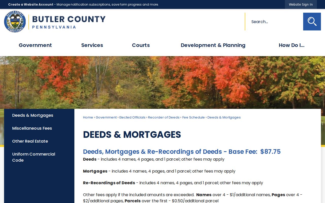
Use the displayed fee schedule only for the service it identifies. Recording a new document, researching an older record, and ordering a copy are separate transactions.
Note: A deed chain follows parties and legal descriptions backward; matching surnames alone can join unrelated parcels or miss an estate transfer.
Cranberry Township Address Requests
For public municipal material not displayed in a portal, Cranberry Township directs users to its permit gateway, Planning and Development staff, or a focused Right-to-Know request. A request should seek existing records rather than ask a question, and should name the street address, a time period, and the specific record set. The Township Right-to-Know procedure permits delivery in person, by mail, as an email attachment, or by fax. It also lists separate email paths for reportable crash reports and residential property surveys.
The Township states a written response is due within five business days, subject to a permitted 30-calendar-day extension. Its 2025 resolution lists $0.25 for each single-sided black-and-white public-record page. Records can be redacted or exempt, so a permit, inspection, or map-related response may be narrower than the request. The building-permit page is the appropriate starting point for application access, not a searchable directory of people.
Cranberry Township Street Tax Search
The Butler County delinquent-tax search provides another address-keyed check. Its public form accepts Parcel Number, Location Address, School District, Municipality, Owner Name, Mailing Address, City, and ZIP Code. The Location Address instruction calls for house number and street, and Owner Name expects the last name first. School District and Municipality are dropdowns, but the inspected static screen did not expose their full option lists.
A ZIP or address entry in this tax form does not produce a streetwide resident list. It helps locate tax-record material for a parcel, subject to the record's own scope. The County Treasurer route also allows parcel number, surname or business, given name, and address, but its payment information should be checked against current local guidance rather than assumed for every Cranberry Township parcel.
Note: The tax portal's ZIP field filters tax records, not delivery addresses or a current population count for the Township.
Cranberry Township Street Precincts
The Township's alphabetical Street List is a useful civic orientation tool because it assigns streets to Cranberry East or West precinct references. Some streets appear in more than one precinct, so the road name alone does not establish one precinct, one parcel, or any person's registration. The list has no voter names.
Pennsylvania Check My Registration is an individual status route, not an open browse of Cranberry Township residents. Under 25 Pa.C.S. § 1404, a voter public-information list requires identification and a written statement of permitted use. The state's request form describes several list types and a signed use limitation. For a personal registration question, use the state tool, the county voter-registration office, or 1-877-VOTESPA. Do not infer a person's status from a street or parcel reference.
Cranberry Township Street History
Street work becomes historical research once the question shifts to an earlier household or business address. The Weir Genealogy Room identifies onsite Polk city directories, reverse-address capability, census and newspaper microfilm, historic maps, county histories, and local vertical files. Its collection guide also names an 1858 indexed Butler County map, an 1874 atlas, and Sanborn map microfilm, although it does not publish a Cranberry-specific Sanborn year or the exact Polk years for each road.
Ask staff for the volume closest to the period and transcribe the address as printed. Compare it to another volume, a map, or an estate and obituary source before treating a match as the same household. The historical collections themselves are described in more detail in the Cranberry Township city directory.
- Parcel
- A county reference for a unit of land used in assessment and mapping.
- Situs address
- The physical location of the property, separate from an owner's tax mailing address.
- Plat or plan
- A recorded map that can identify lots, blocks, or subdivision layout connected to a legal description.
- Criss-cross directory
- A reverse directory arranged by address, useful when a volume actually covers the street and date.
Cranberry Township Map Boundaries
A parcel edge on a GIS screen is not the legal boundary. Butler County says property transfers by legal description, not parcel number, and its tax maps are not certified surveys or exact-distance tools. Map data is maintained for assessment and 911 purposes, with parcel revisions made daily, yet a description problem can still leave an assessment record marked for reference. When the street number, parcel ID, and recorded description disagree, pause the research and contact the Mapping Department or Recorder instead of forcing a match.
This distinction is especially useful along newer mapped developments. A subdivision name may help locate the correct plan, map layer, or permit period, but it does not establish a current household connection.
Cranberry Township Street Directory Limits
A Cranberry Township street directory can document parcels, assessed owners, recorded land transfers, and selected public municipal material. It cannot supply a complete list of all people at each address. No official public utility-customer list was located, water and sanitary layers describe infrastructure rather than accounts, and motor-vehicle address data is restricted by federal law. A mapped community or development also does not make its member information public.
Some records have additional protection. Pennsylvania's Address Confidentiality Program can provide eligible participants a substitute address in several public systems. Election records have statutory access rules, and a street-to-precinct reference is not permission to compile a person list. For family history, estate, civic, or consumer-safety questions, use the custodian and accept redactions or access limits when they apply.