
Cranberry Township Neighbors Block Sources
The most useful Cranberry Township neighbors method follows adjacent parcels around a reference address. The Township map provides physical context. Butler County’s GIS and property profile then identify the selected parcel’s mapping and assessment fields. The Recorder of Deeds is the next custodian if a deed or legal-description question needs confirmation. This approach is about nearby property records. It does not create a current household list for a block.
| Block source | What it can show nearby | Access and restraint |
|---|---|---|
| Cranberry Township Property Finder | Parcels, address points, streets, developments, and infrastructure layers | Map search and browsing, not occupants |
| Butler County GIS | Physical address, tax-map reference, owner and mailing labels, sale and deed reference | Locate and select a parcel; verify deed facts |
| Butler County Property Search | Individual parcel profile, assessment facts, and sales fields | Public owner, address, or parcel search, no block export claimed |
| Recorder instrument record | Recorded ownership-transfer trail for a selected parcel | PAX disclaimer path, counter, or copy request |
| Street and precinct reference | Civic orientation for a street | No voter names or vote choices |
Read every label literally. The owner field can support an ownership lead. The Owner Address field is a tax mailing address and may not match the physical property. Parcel boundaries on a map are not legal boundaries, and a parcel profile is not proof that a particular person currently lives there.
Cranberry Township Neighbors Map Layers
The Cranberry Township Property Finder guide documents search modes for address, street, parcel ID, owner, and development. Its Layer List can show parcels, streets, address points, developments, water, sanitary, floodplain, Agriculture Security Area, and a non-aerial base map. Zoom may affect what is available. Measure, Legend, Draw, and Print controls help preserve a map research note, but the Township does not document a radius or buffer search.
Use a known address or parcel as the starting point, then turn on Parcels, Streets, and Address Points. Identify only the parcels that touch or sit opposite the target segment. The displayed water and sanitary layers are infrastructure context, not customer information. A street search can widen the view, but it should not be treated as a roster of Cranberry Township neighbors.
Butler County GIS Online Search opens with an agreement and directs users to locate by address, parcel number, or owner.
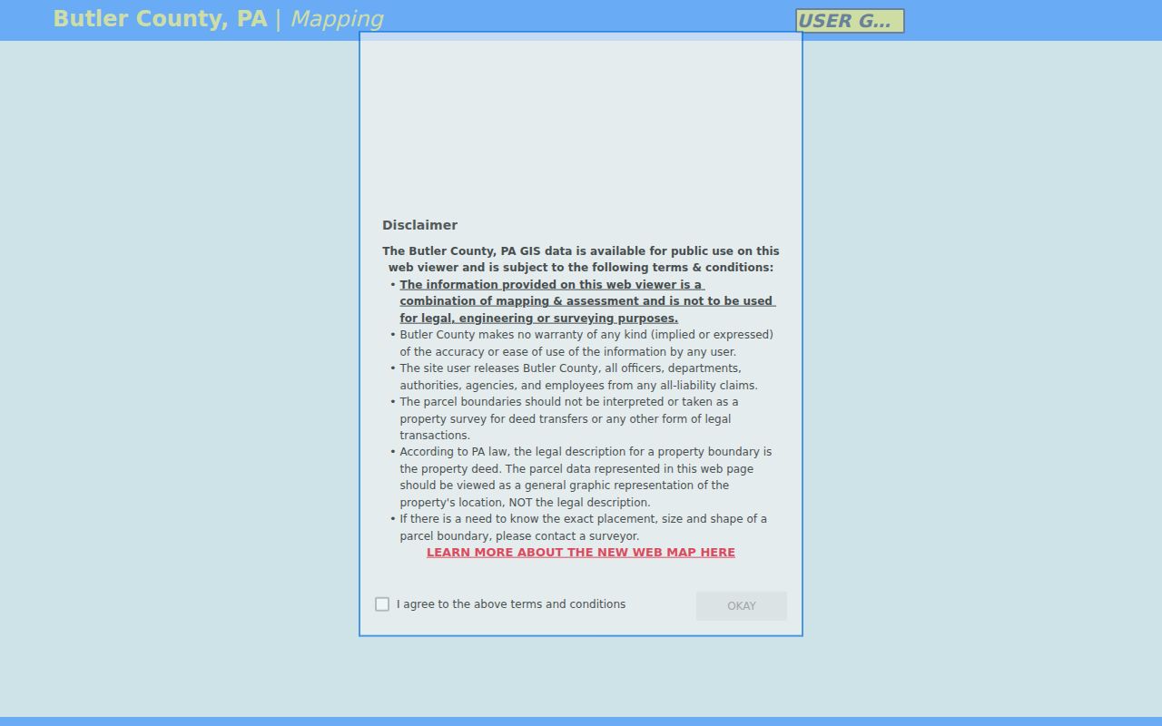
The county viewer is the county-scale companion to the Township map. It is useful for selecting one nearby parcel at a time and carrying that reference to the proper custodian.
Map Cranberry Township Neighbor Parcels
Move outward in a short, documented sequence. The aim is to distinguish physical location, tax-map reference, and recorded property description before drawing any conclusion about the block. Butler County says land transfers by legal description rather than parcel number, so a GIS click is a starting point rather than final proof.
- Search the reference address in Township Property Finder or the County GIS and note the physical address and selected parcel.
- Zoom to the immediate segment and identify touching or opposite parcels with the map’s parcel, street, and address-point layers.
- Open each selected parcel in Butler County Property Search. Preserve the Parcel ID, owner field, Owner Address, short legal description, deed book/page or instrument reference, and last-sale fields as displayed.
- Take the legal-description and deed reference to the Butler County Recorder of Deeds if the ownership trail matters. Compare party role, date, and description instead of relying on the map boundary.
A whole named street needs a different scope. The Cranberry Township street directory follows the broader address-by-address records chain without turning an adjacent-parcel review into a household list.
Cranberry Township Neighbors Property Fields
Butler County GIS is configured with Tax Map Number, Physical Address, and Owner search sources. A selected parcel may show owner and mailing-address city, state, and ZIP labels, a short legal description, deed instrument ID, land-use and assessed-value fields, plus last-sale date and price. The property profile separately provides Parcel, Address, Owner, Owner Address, tax and school districts, acreage, legal description, deed book/page, structural data, and sales data.
| Map or profile item | Careful reading |
|---|---|
| Physical Address | The parcel’s location field, not an assurance about every person connected to it. |
| Owner and Owner Address | Assessment and tax-mailing fields that must not be merged into a current-residence claim. |
| Tax Map Number or Parcel ID | A useful map and assessment identifier, but not the legal transfer description. |
| Short legal description and instrument reference | A bridge to the recorded document that controls the property description. |
The County Mapping Department says parcel data and maps are revised daily for assessment purposes and road/address data supports EMS/911 work. Its tax maps are not certified surveys. Preserve the exact field and date observed if an assessment or mapping correction is needed.
Note: Nearby parcel labels establish map context, while the recorded deed and its legal description establish the transfer record.
Cranberry Township Neighbors Deed Check
The Butler County Recorder public-access page presents a disclaimer plus sign-in and registration controls. County guidance says an account is not required, although it is recommended for saved searches, history, and cart. The public landing page inspected for this research did not expose the post-disclaimer search schema or an online coverage start date, so those details should be confirmed with the Recorder rather than guessed.
The counter alternative is the Recorder of Deeds at the Butler Government Center, 124 W. Diamond Street, Floor L, Butler, PA 16001, telephone 724-284-5340. The office can clarify a copy or counter route for a known book/page or instrument. Its recording fees are different from research and copy fees. For a block question, work only from the selected parcel’s legal description and record reference, then compare the party roles and dates in the actual instrument.
Cranberry Township Neighbors Contact Layer
Cranberry Township’s Neighborhood Forum is a public coordination channel for HOA boards, not a member directory. The Township invites any HOA to register through the Manager’s Office. Forum agendas and minutes are listed through its Neighborhood Portal. This can help someone find a public organizational contact for a block, while keeping member-level information private.
Neighborhood Forum
Township Neighborhood Forum
Bi-monthly, 6:30 p.m., second Monday
Municipal Center, 2525 Rochester Road
HOA board contact route
Manager’s Office
724-776-4806 ext. 1103
Use the official Forum registration route for board communication.
Some neighborhood-association materials have private member directories. An association map label, a development name, or a public board contact does not authorize collection or republication of member names. Cranberry’s public Resource Directory can likewise help identify an organization’s public-facing category or address, not its membership.
Cranberry Township Neighbors Precinct Limits
The Township’s alphabetical Street List is a street-to-precinct orientation tool. Some streets appear in more than one precinct, and a street name alone does not identify one parcel or person. The County identifies Cranberry East 1 through 3 and Cranberry West 1 through 8. Use the list to understand civic geography, not to infer a voter record.
Butler County’s polling-precinct information provides the county-level reference behind that local orientation.
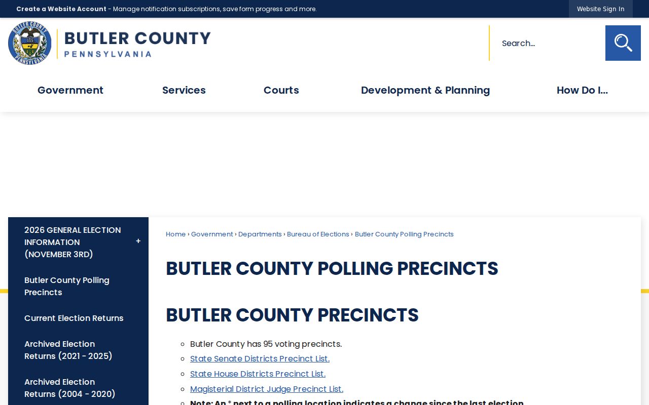
The precinct display can help confirm a civic area, but it does not provide names, voting choices, or a block-by-block resident list.
Under 25 Pa.C.S. § 1404, election-list access requires identification and a written limited-use statement. Pennsylvania Check My Registration is for individual status. Neither route is an open browse of Cranberry Township neighbors, and Address Confidentiality Program participants may use substitute addresses.
Cranberry Township Neighbors Development Context
A development name can help place a block in the right planning and property-record era. Township materials identify Brookvue near Glen Eden and Unionville, Crescent near Coolsprings and Mars Road, and Meeder near Rochester, Unionville, Ogle View, and Route 19. The January 2026 planning inventory also identifies recorded or unbuilt units in Breckenridge, Eagle Ridge, Laurel Pointe, Park Meadows, Reserve, and Summerwind.
That context can guide a focused permit, plan, or deed request. It does not prove a build date, owner, or current occupant for an individual address. For a municipal record that is not in an open portal, use Cranberry Township’s Right-to-Know request process to ask for an existing, identified record and time period.
Cranberry Township Neighbor Privacy Limits
Official parcel and map systems do not identify all household members. No verified public utility-customer list was located, and infrastructure layers do not reveal accounts. Driver and vehicle address data is restricted by federal law. Pennsylvania’s Address Confidentiality Program lets eligible participants use substitute addresses in voter, court, and other records. A protected address or absence from a visible record should never be treated as proof about a person’s location.
Official parcel records are stronger for property facts because the custodian explains their source and limits. Commercial neighbor-search products can be broad and convenient, but they may combine stale material or merge same-name people. They are not the property, court, election, or deed custodian.
| Official record route | Commercial neighbor-search category |
|---|---|
| Identifies the custodian, record type, and access limit; supports direct correction with that office. | May summarize mixed-source information without establishing the original record or current accuracy. |
| Lets a reader check the parcel, deed, docket, or elections rule that supports a narrow fact. | Should not replace verification, restricted-record boundaries, or a direct custodian request. |
Lawful use. Use information about Cranberry Township neighbors for lawful personal, family-history, civic, or safety purposes. Pennsylvania law prohibits stalking and harassment; never use a block record to stalk, harass, intimidate, or harm another person.